Skip to main content
Best Hiking Adventures in Fernie, BC
fernie bc
•10.0/10
•Easy
Best Hiking Adventures in Fernie, BC
Category
Natural Landmark
Typical Duration
5 minutes
Difficulty
Easy
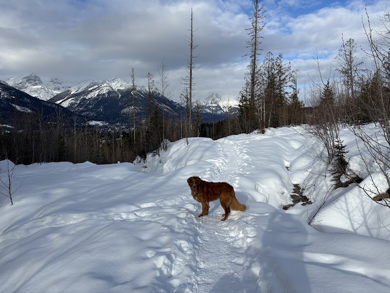
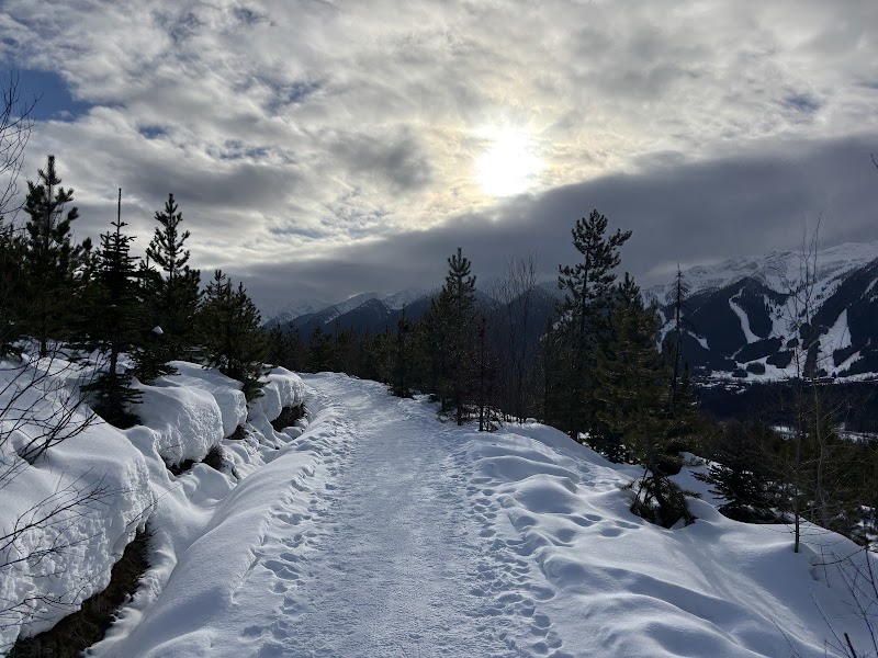
Photo Gallery
Best Hiking Adventures in Fernie, BC - fernie bc
Best Hiking Adventures in Fernie, BC - fernie bc
About This Landmark
Best Hiking Adventures in Fernie, BC
Welcome to Outdoor Adventure in Fernie
Fernie, British Columbia, is a hiking paradise filled with breathtaking mountain trails, lush forests, alpine lakes, and remarkable wildlife. Whether you're looking for an easy stroll or a challenging ascent, this area offers something for every type of outdoor enthusiast. Below, you'll find detailed information on some of the best hiking trails in and around Fernie, including trail difficulty, history, local insights, and important tips to make the most of your adventure.
1. Montane Trails
Overview
One of the best routes for an easy and enjoyable hike in Fernie is the Montane Trail System. This network of scenic loops and forested paths is perfect for those who want a leisurely experience with panoramic views of the Lizard Range and the town of Fernie. The trails range from beginner to moderate difficulty, with options to extend your hike depending on your energy level.
Highlights & Interesting Facts
- The Montane Hut, a small warming shelter, offers a picturesque spot with uninterrupted mountain views.
- Trails lead through open meadows, lush forested areas, and historic farmland once used for dairy production.
- A great spot for wildlife viewing, including deer, elk, and occasionally black bears.
- Trails are used year-round for hiking, biking, snowshoeing, and cross-country skiing.
Things to Know
- The Montane Trailhead is located just outside of downtown Fernie, making it easily accessible.
- Difficulty: Easy to moderate, with well-marked trails.
- Trail Length: Various loop options; can be as short as 1 mile or extended to 6 miles.
- Dogs are allowed, but must be kept under control as the area is frequented by wildlife.
- Early mornings or evenings are best for cooler temperatures and fewer crowds.
Driving Directions
From downtown Fernie, head southeast on Coal Creek Road for about 5 minutes until you reach the designated parking lot for the Montane Trail System. Signs clearly mark the entrance and trail maps are available at the trailhead.
2. Fairy Creek Falls
Overview
For a short yet scenic hike, Fairy Creek Falls is a family-friendly trail that rewards hikers with a beautiful waterfall at the end. This is one of Fernie’s most popular short hikes, offering a peaceful forest setting and minimal elevation.
Highlights & Interesting Facts
- The waterfall is attractive year-round, but especially in spring and early summer when the snowmelt increases the water flow.
- Named after the “Fairy Creek,” this area has been a favorite local gem for decades.
- Easy enough for kids and beginner hikers, yet scenic enough for photographers.
- In winter, the falls partially freeze, creating a stunning ice formation.
Things to Know
- Difficulty: Easy (suitable for all ages and fitness levels).
- Trail Length: 2 miles round trip with a gentle incline.
- Best Season: Spring through fall.
- Dogs are allowed, but should be on a leash.
- Be cautious after rainfall, as sections of the trail can become slippery.
Driving Directions
From downtown Fernie, take Highway 3 east toward Mount Fernie Provincial Park. The trailhead is located near the Fernie Visitor Centre (about a 3-minute drive from town). Look for the small parking lot near Mount Fernie Provincial Park, where the trail begins.
3. Swine Flu Trail
Overview
The Swine Flu Trail is a locals’ favorite, combining a moderate climb with sweeping views of the Elk Valley. This loop hike is perfect for those wanting a workout while enjoying incredible scenery.
Highlights & Interesting Facts
- The trail gets its unique name from a local mountain bike race of the same name.
- Offers spectacular sunset views over Fernie and the surrounding mountains.
- Home to diverse wildlife, including bighorn sheep, deer, and the occasional black bear.
- A great option for those looking for a quick but rewarding climb.
Things to Know
- Difficulty: Moderate. Requires some stamina for the steady incline but is not technically challenging.
- Trail Length: 4 miles round trip, gaining about 1,000 feet in elevation.
- The trailhead is located in West Fernie, and the hike loops back to the starting point.
- Best hiked in the morning or late afternoon to avoid the midday heat.
- No water sources along the trail—bring enough water.
- The summit area can be windy, so bring a light windbreaker.
Driving Directions
From downtown Fernie, cross the West Fernie Bridge and turn onto Dicken Road. Follow this until you reach the designated trail parking area (about 5 minutes from town). The trailhead is clearly marked and easy to find.
Final Tips for Hiking in Fernie
Before heading out on your hiking adventure, consider these important tips:
- Weather: Fernie’s mountain weather can change quickly—always bring a rain jacket and extra layers.
- Wildlife Awareness: Carry bear spray, and make noise while hiking to avoid surprising animals.
- Leave No Trace: Respect the landscapes and pack out everything you bring in.
- Trail Etiquette: Yield to uphill hikers and be respectful of bikers who may be using shared trails.
Fernie’s trails offer an unforgettable experience, whether you're hiking through lush forests, climbing up scenic ridgelines, or chasing waterfalls. Enjoy your journey through the wild beauty of Fernie! ****
Visitor Tips:
- Best Times: Spring and Fall for cooler temperatures and amazing lighting.
- What to Bring: Water, sunscreen, and a camera!
Ratings
Overall
10.0/10User rating
Experience Level
Easy
Experience Needed: This natural landmark is recommended for those with minimal outdoor experience. Perfect for families and beginners.