Skip to main content
Backpacking the West Coast Trail Along Clifftops and Beaches in Vancouver Island, BC
Vancouver Island, BC
•Hard
Backpacking the West Coast Trail Along Clifftops and Beaches in Vancouver Island, BC
Category
Natural Landmark
Typical Duration
25-38 hours
Difficulty
Hard
Photo Gallery
Backpacking the West Coast Trail Along Clifftops and Beaches in Vancouver Island, BC - Vancouver Island, BC
Backpacking the West Coast Trail Along Clifftops and Beaches in Vancouver Island, BC - Vancouver Island, BC
Backpacking the West Coast Trail Along Clifftops and Beaches in Vancouver Island, BC - Vancouver Island, BC
About This Landmark
Backpacking the West Coast Trail Along Clifftops and Beaches in Vancouver Island, BC
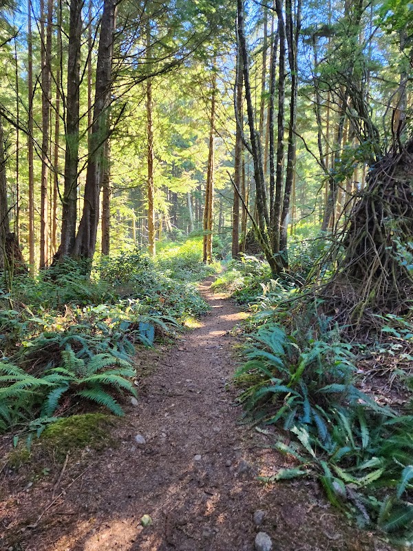
The West Coast Trail (WCT) on Vancouver Island, BC, is one of Canada’s most challenging and rewarding backpacking routes. Stretching 75 kilometers along the rugged Pacific Rim coastline, it features towering cliffs, expansive beaches, and dense rainforest. Originally a rescue route for shipwreck survivors, today it is a destination for experienced hikers seeking dramatic landscapes, wildlife encounters, and technical terrain.
### Adventure Guide to Backpacking the West Coast Trail Along Clifftops and Beaches
Tsusiat Falls
- Location: Near the 25 km mark on the trail.
- What Makes It Special: This stunning waterfall cascades directly onto the beach, creating a natural freshwater pool for weary hikers. It’s an ideal spot for a refreshing swim after a long day of trekking.
- Key Features: Ample camping space, nearby sea caves, and incredible sunset views.
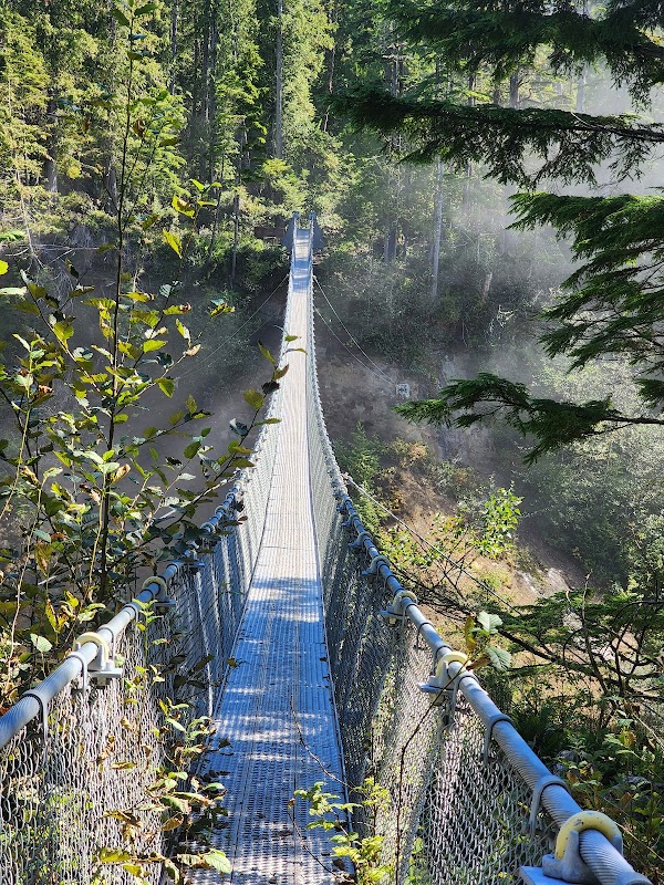
Walbran Creek
- Location: Around 53 km from the trailhead.
- What Makes It Special: A picturesque river crossing with a suspension cable car, Walbran Creek provides an excellent resting point with soft sand camping and opportunities to spot bald eagles and sea lions.
- Key Features: A pristine river for filtering drinking water, driftwood for campfires, and a nearby forested bluff with expansive ocean views.
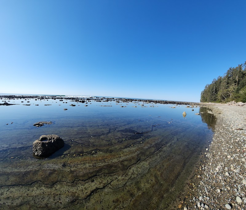
Owen Point
- Location: Near the southern end of the trail, past Thrasher Cove.
- What Makes It Special: Features towering sea stacks and intricate sandstone formations, often compared to lunar landscapes. Hikers may pass this area during low tide, revealing hidden tidal pools filled with colorful marine life.
- Key Features: Access to secluded tide pools, dramatic wave-carved rock formations, and frequent gray whale sightings during migration seasons.
### Local Insights
- The WCT was originally part of the lifesaving route for shipwrecked mariners. Known as the "Graveyard of the Pacific," this coastline has claimed hundreds of vessels.
- The Indigenous communities of the Ditidaht, Huu-ay-aht, and Pacheedaht Nations have lived and traveled these lands for centuries, offering cultural and historical significance.
### Visitor Tips
- Best times to visit: May to September, when the weather is more stable, though rain is always possible. Permits are required.
- What to bring:
- Waterproof hiking boots
- Layers for unpredictable weather
- A tide chart for safe beach crossings
- Getting there: Start at Gordon River (south) or Pachena Bay (north). Reaching the trailhead from Victoria takes approximately five hours by car and ferry. Shuttle options are available.
Visitor Tips:
- Best Times: Spring and Fall for cooler temperatures and amazing lighting.
- What to Bring: Water, sunscreen, and a camera!
Ratings
Overall
9.3/10User rating
Experience Level
Hard
Experience Needed: This natural landmark is recommended for those with significant outdoor experience. Best for experienced adventurers.