Skip to main content
Exploring the Flatirons Vista Trails in Boulder
Boulder
•9.6/10
•Easy
Exploring the Flatirons Vista Trails in Boulder
Category
Natural Landmark
Typical Duration
2-3 hours
Difficulty
Easy
Photo Gallery
Exploring the Flatirons Vista Trails in Boulder - Boulder
Exploring the Flatirons Vista Trails in Boulder - Boulder
Exploring the Flatirons Vista Trails in Boulder - Boulder
About This Landmark
Exploring the Flatirons Vista Trails in Boulder
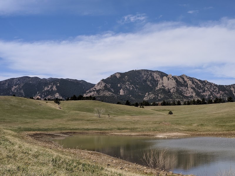
The Flatirons Vista Trails is a captivating destination that showcases the stunning beauty of Boulder, Colorado. Serving as a gateway to some of the most picturesque views of the iconic Flatirons, these trails offer visitors an unforgettable experience. The area is significant not only for its breathtaking scenery but also for its accessibility and diverse hiking options.
Adventure Guide To Exploring the Flatirons Vista Trails:
-
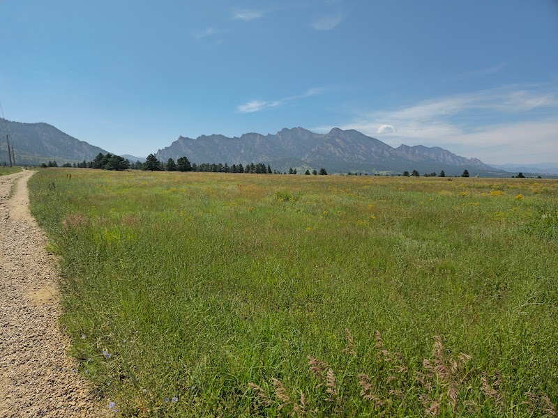
Flatirons Vista Loop
- Location: This trailhead is located at the Flatirons Vista Trailhead, just off Highway 93.
- What Makes It Special: The loop provides panoramic views of the Flatirons and the encompassing foothills. As you hike, you will encounter expansive open spaces dotted with wildflowers in the spring and summer.
- Key Features: The trail is approximately 3.3 miles long and features a gentle incline, making it suitable for families and casual hikers. There are picnic areas available for a relaxing post-hike lunch.
-
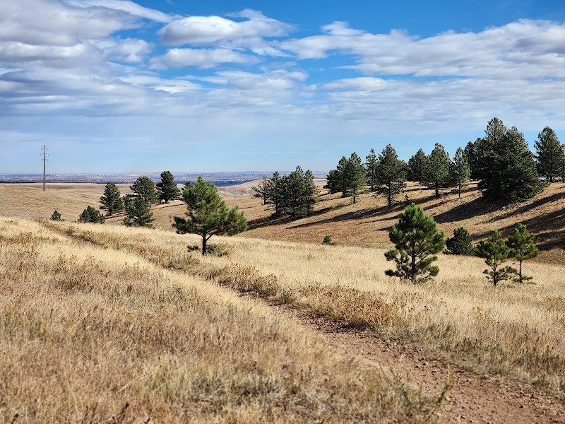
South Meadow Trail
- Location: Accessed via the Flatirons Vista Trailhead.
- What Makes It Special: This trail offers an immersive experience through flora and fauna native to the region. Wildlife enthusiasts may spot deer, rabbits, and various bird species.
- Key Features: The trail is about 1.5 miles round-trip and features interpretive signs that provide insights into the local ecology.
-
Ned's Trail
- Location: Connects to the Flatirons Vista Loop.
- What Makes It Special: This trail is slightly more challenging, offering a more secluded route with fewer crowds and stunning vistas of the Flatirons.
- Key Features: The trail showcases unique rock formations and varied terrain, appealing to more seasoned hikers.
Local Insights:
The Flatirons are not only a hiking destination but also carry historical significance, reflecting the geological forces that shaped this area millions of years ago.
Visitor Tips:
- Best Times to Visit: Early morning offers cooler temperatures and breathtaking sunrises.
- What to Bring: Sunscreen, plenty of water, sturdy hiking shoes, and a camera.
- Driving Directions: From downtown Boulder, take Baseline Road west to Highway 93. The trailhead is approximately a 15-minute drive.
Visitor Tips:
- Best Times: Spring and Fall for cooler temperatures and amazing lighting.
- What to Bring: Water, sunscreen, and a camera!
Ratings
Overall
9.6/10User rating
Experience Level
Easy
Experience Needed: This natural landmark is recommended for those with minimal outdoor experience. Perfect for families and beginners.