Kananaskis Country Public Land Use Zone
Kananaskis Country Public Land Use Zone is a stunning recreational area in Alberta, Canada, offering a diverse array of outdoor activities amid breathtaking landscapes of mountains, forests, and rivers.
About Kananaskis Country Public Land Use Zone
Kananaskis Country Public Land Use Zone is located in the foothills and front ranges of the Canadian Rockies, covering an extensive area that offers a mix of provincial parks and wild spaces. Known for its spectacular mountain scenery, it encompasses a range of diverse ecosystems, including dense forests, alpine meadows, and rushing rivers. Wildlife such as elk, bear, and bighorn sheep are commonly sighted, making it a prime area for nature enthusiasts. The area's history is deeply rooted in indigenous cultures, with significant past use by indigenous peoples for hunting and gathering. The region became a prime destination for outdoor recreation in the 20th century, attracting hikers, campers, and adventurers. Recreational opportunities are abundant, with activities like hiking, biking, fishing, and skiing that attract both locals and tourists alike. Some notable landmarks include the stunning Grassi Lakes, the challenging Ha Ling Peak, and the scenic Smith-Dorrien Trail. The Kananaskis Country Public Land Use Zone appeals to visitors with its combination of well-developed facilities and untamed wilderness.
Highlights
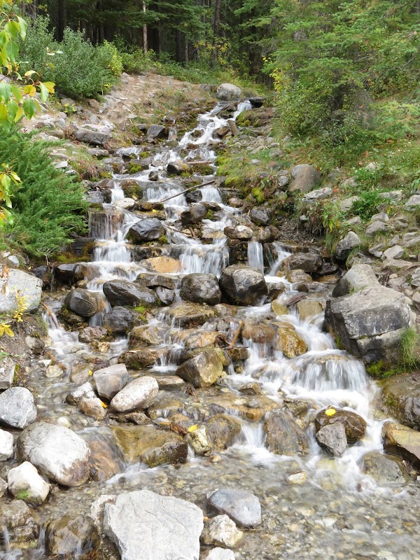
Grassi Lakes Trail
Ha Ling Peak
Smith-Dorrien Trail
Kananaskis River
Notable Natural Features
Grassi Lakes Trail
A trail known for its turquoise lakes and rock climbing opportunities.
Ha Ling Peak
Famous for its hiking trail that offers panoramic views of the Bow Valley.
Smith-Dorrien Trail
A scenic gravel road leading to various trailheads and picnic spots.